Assonet: “One of ye most considerable Seats of the Indians in this Part of ye World”
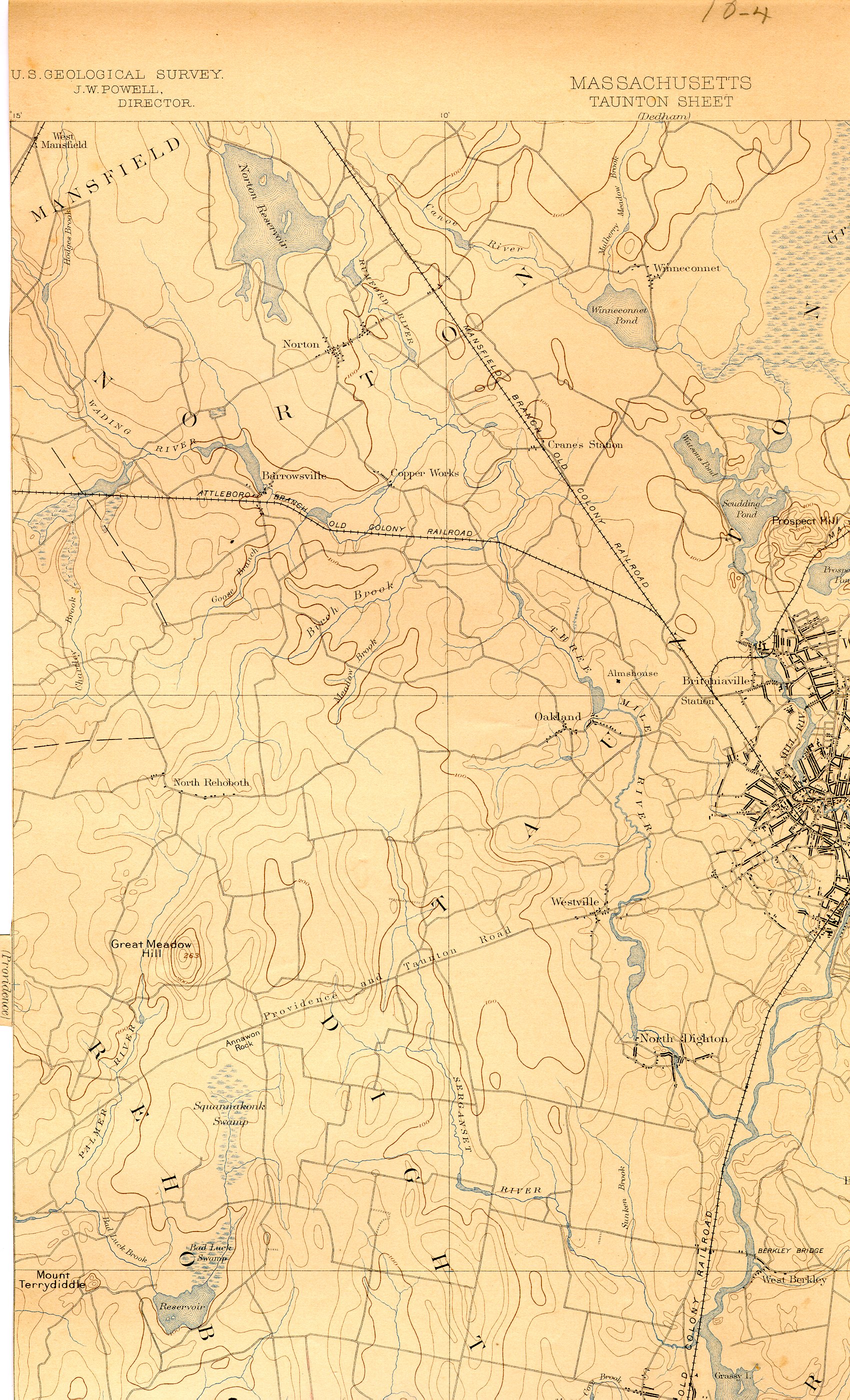
The Assonet peninsula was especially coveted by Plymouth colony settlers. As early as 1643, the Plymouth Court had “granted” the land at Assonet “Neck” to its men at Taunton, “provided leave can be procured from Ossamequin,” which never occurred. They initially desired this planting peninsula for "the pasturing of young beasts." The 1659 Freemen's deed sought access to the land surrounding Assonet neck, but did not include the peninsula itself. Moreover, Weetamoo and the Wampanoags held and defended Assonet up until the outbreak of war. Indeed, very little colonial settlement occurred in the land between Assonet and Quequechand. In 1663, Plymouth once more sought access to the fertile meadows by acquiring a retroactive deed from Philip, who became sachem of Pokanoket after the death of his father, Ousamequin, and brother, Wamsutta. With this deed, they sought to extend the bounds of Taunton to encompass Assonet Neck.
Yet still, the deed remained untenable on the ground. As the Taunton historian Samuel Hopkins noted, “Assonet Neck, a peninsula between the Great River and its Assonet branch…the natives had always refused to sell.” Indeed the records show several more efforts, by Constant Southworth and the Taunton men, to acquire Philip’s consent for the same stretch of land on Kteticut, from its junction with the fishing place of “Nomesticomok” or the “three mile river” (in North Dighton) to its confluence with the Assonet River, encompassing the “neck.” Southworth tried the well-worn tactic of using a debt to compel Philip to sign a deed for land under Weetamoo’s jurisdiction. But all of these acts and deeds did not succeed in the settlement of the planting grounds at Assonet. Rather, it became known as “One of ye most considerable Seats of the Indians in this Part of ye World.”[i]
In 1673, Weetamoo formally retained and recorded Wampanoag rights to Assonet Neck through a deed of her own. The bounds created a protected area of the entire Assonet peninsula, including the ancient planting grounds and “remarkable” fishing places. The deed set a clear boundary line from the headwaters of the Mastucksett brook (Stacey's brook), which fed into Assonet Bay from the north, and west to the river Kteticut, above the cove Chippascutt (Smith's cove, Dighton). The deed explicitly set the bounds between the Taunton men and this Wampanoag stronghold, defended by both Wampanoag and Narragansett warriors, tied to Weetamoo. She placed a man named Piowant as the caretaker or holder of the deed, understanding that the Plymouth men were more likely to recognize a male planter than a collective group of female cultivators as the "owner" of this land. She appeared, however, on the deed as “Wetamo, Squa Sachem” and William Bradford, Jr. recognized her authority in ordering the deed "to be recorded at Plymouth."
According to Emery's history and the Plymouth Records, "Assonet Neck was later seized by Plymouth colony to pay the expenses of the Indian wars, and in 1675, the lands ‘at Assonett Necke 200 pounds’ were pledged by the General Court for the ‘incouragement of the souldiers sent forth on the first expedition against the Indians,’ as indicated by this order:
Whereas the Court for the incurragement of the soldiers sent forth on the first expedition against the Indians, did order and engage, according to theire desire, that they should have theire pay in mony or lands; and noe way att psent appering to raise monyes, doe theirfore for theire satisfaction, order that certaine tracts of land be assigned, to the value of about one thousand pounds, to be divided amongst them for the payment of theire respective ptes due unto them; the said tracts assigned being at Showamett supposed to be neare the value of 500n; att Assonett Necke 200n; att Assowamsett, 200n; and about Agawaam and Sepecan, one hundred pound; so as the said traces shall be more pticularly viewed and valued as att mony prise, according to such indifferent rates as they might have been esteemed worth when the said order was made; and for the better effecting thereof, theTreasurer, Major Cudworth, cornett Studson, and James walker are desired and appointed to take view thereof and make reporte to the Court or councell, for the settleing of the same att such reasonable rates as to them shall seem meet, to be divided to the said soldiers, or sold for theire pay or discharge of other necessesarie dues occationed by this war.” (Plymouth Colony Records 5:191, Emery's History of Taunton, 122)
http://upload.wikimedia.org/wikipedia/commons/e/e1/Three_Mile_River_%28Massachusetts%29_map.jpg